— Article
How to Build a Drone SAR Program from the Ground Up

Building a drone SAR program looks simple from the outside: buy a drone, train some pilots, respond to calls. Organizations that approach it that way learn quickly that reality is more complicated.
A functional drone SAR program isn’t a drone plus a pilot. It’s a documented capability — with regulatory standing, trained personnel, defined procedures, integrated command structure, maintained equipment, and the institutional support to sustain it past the first year. Programs that skip steps in that foundation tend to either fail quietly (the drone sits in a case because nobody’s current on their cert) or fail loudly (a flight goes wrong because the operational framework was never built).
This guide covers the full build sequence: from the regulatory groundwork through equipment selection, pilot pipelines, ICS integration, mutual aid, and the software infrastructure that holds it together at scale.
Phase 1: Organizational Groundwork Before You Buy Anything
The biggest mistake new drone SAR programs make is leading with hardware. The drone is the easy part. What takes time — and what determines whether the program survives — is the organizational infrastructure underneath it.
Secure Formal Organizational Sponsorship
A drone program that runs on one person’s enthusiasm and their personal equipment is not a program. It’s a workaround. When that person leaves, the capability leaves with them.
Before any other step, the program needs a formal home: a sponsoring agency, a budget line, and named accountability for program oversight. That might be a county sheriff’s office, a municipal fire department, a dedicated SAR organization, or a county OES. The specific structure matters less than the fact that it exists on paper, with leadership commitment behind it.
This step also determines your regulatory pathway. Public agencies operating under a Certificate of Authorization (COA) have different options than volunteer SAR organizations operating under Part 107. Know which category you’re in before you start building.
Define Your Mission Scope
Drone SAR programs that try to do everything often do nothing well. At program launch, define a specific, defensible mission scope:
- Subject type: Wilderness search? Urban missing persons? Water rescue? Evidence documentation?
- Operational environment: What terrain, weather conditions, and airspace will you regularly operate in?
- Activation criteria: What threshold triggers drone deployment, and who makes that call?
- Integration level: Are drones a primary search tool, a support asset for ground teams, or both?
A narrow, well-executed mission scope builds credibility. Mission creep can come later, once the program has a track record. Starting broad means no single use case is done well enough to prove the capability.
Conduct a Formal Needs Assessment and Cost Model
Decision-makers will ask what this costs. Have the answer before they ask.
A realistic cost model for a starting program includes: initial hardware (aircraft, sensors, batteries, transport cases), software licensing, training and certification costs, recurring maintenance, replacement parts and consumables, and the staff time required to keep pilots current.
Phase 2: Regulatory Foundation
Nothing grounds a program faster than an airspace violation or an unqualified pilot on a documented incident. The regulatory foundation isn’t bureaucratic overhead — it’s what gives your program legal standing to operate.
Part 107 Certification for All Operational Pilots
Every pilot who will fly on behalf of the organization needs an FAA Part 107 Remote Pilot Certificate. This is non-negotiable and there’s no workaround worth pursuing. The knowledge test covers airspace rules, weather interpretation, emergency procedures, and aviation communication — all directly applicable to operational flying.
Part 107 certification is also where your pilots start building the regulatory literacy they’ll need when waivers and COAs become relevant. Treat it as a baseline, not a destination.
For public agencies considering a COA, the Part 107 pathway is still typically the right first step — COAs take time to obtain and require demonstrated operational competence that a fresh program won’t have.
Identify the Waivers Your Mission Scope Requires
Standard Part 107 rules prohibit several things that SAR programs regularly need to do: night operations, flights over people, BVLOS operations, and flights in controlled airspace without authorization.
Map your intended mission profile against the Part 107 restrictions. If your program will respond to wilderness searches that regularly extend past sunset, you need a night waiver or night ratings under the current rules. If you’ll operate in the Class D or C airspace around a local airport, LAANC authorization or a COA will be required.
Identifying waiver requirements early matters because waiver timelines are long. A BVLOS waiver can take months. Starting the process after you’ve already bought the hardware is starting late. For a detailed breakdown of what current FAA rules require from a software perspective, our FAA compliance guide covers the requirements platforms need to support.
Establish a Records and Documentation System
From the first flight, every operation needs to be documented: who flew, what aircraft, what authorization, what airspace, what dates and times, what was observed. This matters for regulatory compliance, for liability protection, and for after-action learning.
Decide early whether this documentation lives in a dedicated UAS software platform or in manual logs — and understand the tradeoffs. Manual logs require discipline to maintain and are difficult to audit. A purpose-built platform can automate most of this, but requires upfront setup and training. As the program scales, manual documentation does not.
Phase 3: Equipment Selection
Equipment selection is where programs spend the most time and often make the most avoidable mistakes. The goal is not the best drone — it’s the right capability set for your defined mission scope, at a cost the program can actually sustain.
Aircraft Selection Criteria
The relevant variables for SAR programs are different from commercial or recreational use:
Flight time. SAR operations can run for hours. Aircraft with 20-minute flight times force constant battery swaps that interrupt search coverage and add pilot workload. Prioritize platforms with genuine 40+ minute endurance under real operational conditions — not manufacturer specs at sea level with no payload.
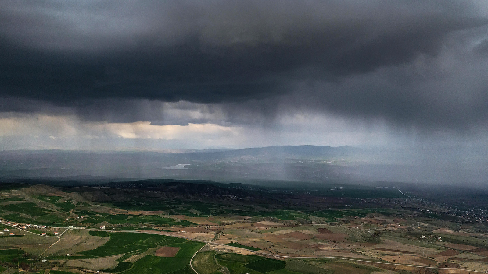
Wind resistance. Mountain and coastal SAR environments are not calm days on a test field. Know the sustained wind rating for any aircraft you’re evaluating, and factor in the typical wind conditions in your operating area.
Sensor flexibility. Will you need thermal alongside optical? Is the payload system flexible enough to add capability later, or does adding a thermal camera require a new aircraft? Payload lock-in is a long-term cost that doesn’t show up in the initial purchase price.
Durability and repairability. SAR environments are not gentle. Aircraft get bumped, dropped, and operated in rain, dust, and cold. Understand what happens when something breaks — whether repair parts are available, whether repairs can be done in the field, and what the vendor support model looks like.
DFR restrictions. If your program is affiliated with a public safety agency, Drone as First Responder operations may be in scope. Verify that any aircraft under consideration is DFR-capable and check current policy on Chinese-manufactured UAS if that’s a procurement constraint for your organization.
Sensor Payload Selection
For SAR specifically, a thermal camera is not a luxury. Heat signatures cut through vegetation, darkness, and environmental clutter in ways that optical cameras cannot. For most SAR programs, a dual-sensor payload — optical plus thermal — should be the standard configuration, not an upgrade.
Support Equipment
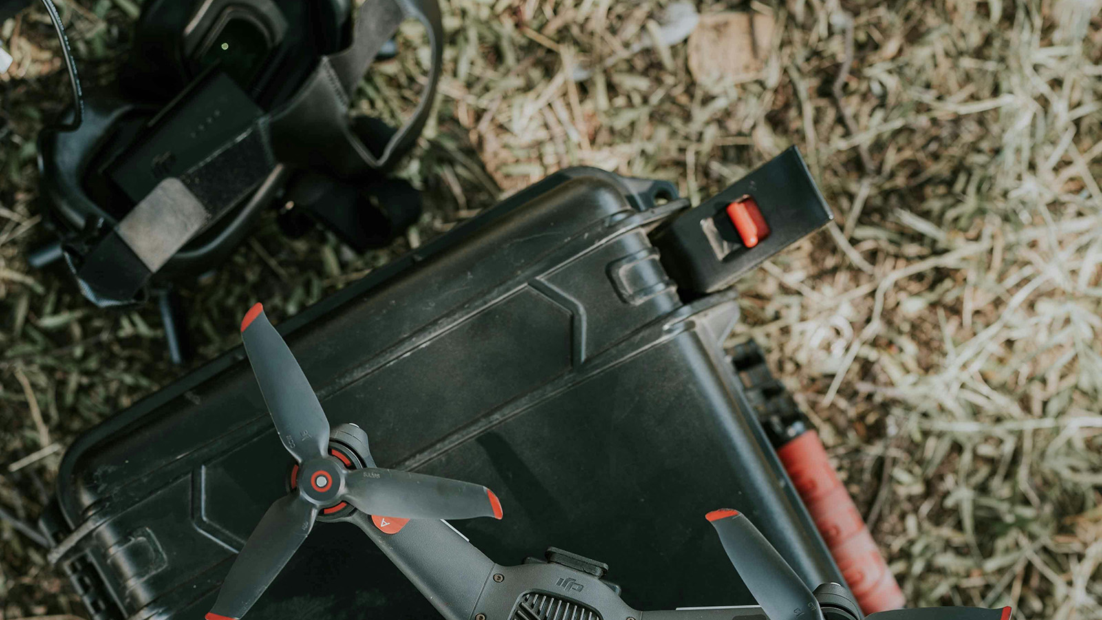
Aircraft get most of the attention; support equipment gets ignored until it becomes a problem in the field. Build your equipment list to include: sufficient batteries for operational endurance, a field charging solution appropriate to your response environment, hard-sided transport cases rated for the environments you’ll operate in, antenna range extenders for operations in mountainous or obstructed terrain, and a laptop or tablet with offline map capability for mission planning.
| Category | Key criteria | Why it matters for SAR | Watch out for |
|---|---|---|---|
| Aircraft Primary platform | 40+ min flight time Wind-rated Payload-flexible Field-repairable | Searches run long. Battery swaps interrupt coverage and add pilot workload. Terrain is unpredictable. | Manufacturer endurance specs are measured at sea level with no payload. Real-world numbers differ significantly. |
| Sensors Payload config | Dual thermal + optical Zoom capability Quick-swap mount | Thermal cuts through vegetation and darkness. Optical confirms detections. Single-sensor configs force a compromise. | Thermal resolution varies widely. Low-resolution sensors miss subjects at altitude or in complex thermal backgrounds. |
| Support gear Field kit | 4–6 batteries / aircraft Field charger Hard-sided cases Range extenders | SAR deploys to remote locations. Charging must work off a vehicle. Cases must survive terrain transit. | Support kit runs 40–60% of total hardware budget and is consistently underestimated in initial planning. |
Phase 4: Building the Pilot Pipeline
A drone program is only as good as its pilots — and “good” in a SAR context means something more specific than a Part 107 certificate and comfortable stick-and-rudder skills.
Define Pilot Roles and Progression Levels
Most programs benefit from a tiered structure that gives pilots a clear development pathway and gives incident commanders a clear picture of what level of pilot they’re deploying on a given mission.
Trainee / observer
Requirements
- Part 107 study in progress
- Agency sponsorship confirmed
- Background check complete
Authorized for
- Support and observer duties
- No PIC authority
- Training flights with instructor
Certified pilot
Requirements
- FAA Part 107 certificate
- Program training complete
- Currency standard maintained
Authorized for
- Standard daylight operations
- PIC authority
- Familiar environments
Senior pilot
Requirements
- Night / terrain endorsements
- ICS-300 or equivalent
- Field hours threshold met
Authorized for
- Night and complex terrain ops
- Multi-aircraft missions
- Team lead duties
Instructor / program lead
Requirements
- All Tier 3 criteria
- Training delivery certification
- Program lead designation
Authorized for
- Training delivery
- Pilot currency verification
- Program standards oversight
SAR-Specific Training Requirements
Part 107 training does not cover what SAR pilots actually do in the field. Build a program-specific training curriculum that includes:
Search pattern execution. Pilots need to be proficient in the patterns relevant to your operating environment — expanding square, creeping line, contour search — and need to understand how pattern selection is driven by terrain, probability zones, and subject behavior profiles. This is covered in detail in our drone search patterns guide.
Communication discipline. On an active SAR incident, comms channels are congested. Pilots need to know how to report observations efficiently, request airspace deconfliction, and communicate with non-pilot team members without creating noise on the channel.
Sensor interpretation. Thermal imagery is not intuitive. Pilots need training specifically in reading thermal signatures — distinguishing subjects from environmental heat sources, understanding how terrain and time of day affect thermal signatures, and knowing when a detection requires a second pass versus a ground team tasking.
Operating under an IC. SAR pilots who have only ever operated independently often struggle with the discipline of taking tasking from an incident commander rather than self-directing. Include ICS-integrated exercises in training from the beginning.
Currency maintenance. Define how often pilots need to fly to maintain operational currency — both total flight time and mission-type-specific proficiency. Programs without a currency standard quietly become programs where nobody is actually ready when the call comes in.
Phase 5: ICS Integration
A drone capability that isn’t integrated into the incident command structure is a liability, not an asset. Aircraft operating outside of the ICS framework create airspace conflicts, comms problems, and accountability gaps.
Where Drones Fit in the ICS Structure
Under NIMS/ICS, drone assets typically fall under the Air Operations Branch within the Operations Section. The UAS team lead functions analogously to a helicopter crew lead — receiving tasking from Air Operations, coordinating with ground teams through established channels, and reporting observations up the chain.
Understanding this structure matters for program design. Pilots need basic ICS training (ICS-100 and ICS-200 at minimum; ICS-300 is appropriate for anyone who will function as a team lead). The program lead should understand the Air Operations Branch structure and how drone assets request and release airspace.
Standardize the Activation and Briefing Process
Every deployment should follow the same activation sequence. Who gets called? What information needs to be gathered before aircraft are in the air? What’s the abort criteria?
A standardized pre-mission briefing process — covering search area assignment, mission objectives, comms plan, weather limits, and crew roles — creates consistency across incidents and across different incident commanders. Once built, this shouldn’t live in someone’s head. It should be a documented process, trainable and reproducible.
Airspace Coordination Protocols
SAR incidents regularly involve multiple aircraft. Law enforcement helicopters, air ambulances, news helicopters, and fixed-wing search aircraft may all be operating in or near your area of interest simultaneously. Drones without a clear airspace coordination protocol create real conflict risk.
Establish procedures for: notifying airspace controlling authority before operations, obtaining TFR information, communicating with manned aircraft via established protocols, and deconflicting with other UAS assets at mutual aid incidents.
Phase 6: Mutual Aid Agreements
SAR incidents don’t respect jurisdictional boundaries. Your program will be asked to assist neighboring jurisdictions, and you’ll need assistance in return. Mutual aid for drone operations requires more specificity than standard mutual aid agreements typically provide.
At minimum, your mutual aid agreements should address:
Pilot qualification verification. When another agency’s pilot arrives at your incident, how do you verify they meet your program’s minimum standards? Define the process before you’re standing in a parking lot at 11 p.m. trying to figure it out.
Equipment compatibility. Different agencies operate different aircraft, different command software, and different comms systems. Define in advance how aircraft from different agencies will be integrated into a shared operational picture.
Command authority. Who has command authority over an out-of-jurisdiction drone asset on your incident? This needs to be specified clearly — ambiguity here creates conflicts during active operations.
Data handling. Who owns the footage and data from a mutual aid flight? What are the retention and sharing obligations? This matters particularly for law enforcement-adjacent operations.
Spending time on these details before they’re needed is what separates a mutual aid agreement that actually works from paperwork that looks good until tested.
Phase 7: Software and C2 Infrastructure
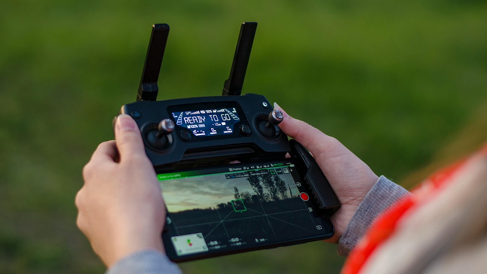
The operational pieces above don’t hold together at scale without software infrastructure to support them. For a single-aircraft, single-team program responding to occasional calls, a GCS and a logbook may be sufficient. As the program grows — more aircraft, more pilots, more complex incidents — the limitations of that approach become operational problems.
What a Purpose-Built Platform Enables
The distinction between a GCS and a C2 platform matters here. A GCS manages a single aircraft. A C2 platform manages the mission: shared situational awareness across pilots and command staff, centralized tasking, automated documentation, and the ability to integrate with the CAD and dispatch systems your IC is already using.
For SAR programs, the specific capabilities that matter most are:
- A shared common operating picture that the IC can access without being at the GCS
- Search area management tools that allow sectors to be assigned, tracked, and reassessed as coverage accumulates
- Automated mission logging that generates post-incident documentation without requiring pilots to manually reconstruct their flight records
- Offline functionality that works in the wilderness canyons and mountain terrain where most SAR missions unfold
Our public safety UAS software evaluation guide provides a structured framework for comparing platforms against the criteria that matter specifically to SAR and emergency response programs.
Evaluating Platforms as a SAR Program
When evaluating software, SAR programs have requirements that differ from law enforcement or fire:
Offline-first is non-negotiable. Search environments typically have poor or no cellular coverage. Any platform that requires connectivity to function is incompatible with most SAR operating environments.
Multi-team support matters from day one. Even a small program may deploy three or four aircraft on a major incident. Software that was designed for single-aircraft operations will show those limits quickly. See our guide on managing multiple drone teams for the operational side of this challenge.
Training overhead is a real cost. Volunteer programs with irregular activation cycles need software that can be operated fluently by someone who hasn’t flown in three weeks. Steep learning curves translate directly into operational hesitation.
Building for Sustainability, Not Just Launch
A program that launches well but fades out in two years hasn’t succeeded. The most common reasons programs fail after a promising start:
Pilot attrition without replacement. Volunteers burn out. Certifications lapse. Build a recruitment and training pipeline that runs continuously, not just at program launch.
Equipment that isn’t maintained. Batteries degrade. Firmware falls out of date. Props develop stress fractures. A maintenance schedule with documented accountability is part of operational readiness, not optional.
No after-action process. Programs that don’t formally debrief after incidents don’t improve. Even simple incidents produce useful learning if there’s a structured process to capture it.
Loss of agency sponsorship. Programs that depend on a single champion inside the sponsoring agency are vulnerable. Build relationships with multiple stakeholders and document the program’s value regularly — incident outcomes, coverage statistics, time-to-locate data — so the case for continuation doesn’t depend on any one person.
The programs that last are the ones that treat sustainability as a design requirement from day one, not an afterthought after the hardware is in the air.
The Bottom Line
Building a drone SAR program that actually works — and keeps working — requires getting the foundation right before the aircraft leaves the ground. Regulatory standing, organizational structure, trained pilots, ICS integration, mutual aid agreements, and software infrastructure aren’t preparation for the real work. They are the real work.
The operational piece — searching, detecting, coordinating — is what the program does. The foundation above is what makes it possible to do it consistently, legally, and safely, across different incidents, different teams, and different conditions.
Start with the phase that’s weakest in your current situation. If you’re an existing program reading this, that might be formalizing something that’s been running informally. If you’re starting from zero, it’s organizational sponsorship. Either way, the sequence matters less than the completeness.
We’re building TacLink C2 as the software layer for SAR programs that take operations seriously — shared situational awareness, automated logging, offline-first architecture, and fleet coordination from a single platform. If you’re building or scaling a drone SAR program, join the early access waitlist.
— Related
Keep reading
Written by
TacLink C2 Team
TacLink C2 Team builds a modern desktop ground control station for independent and commercial drone pilots. Writing here covers mission planning, multi-drone operations, airspace, and the software that keeps serious UAS programs running.