— Newsroom
Writing and field reports.
In-depth writing, product updates, and field reports for serious drone operators. Articles, updates, and stories from pilots working the problem firsthand.
Article
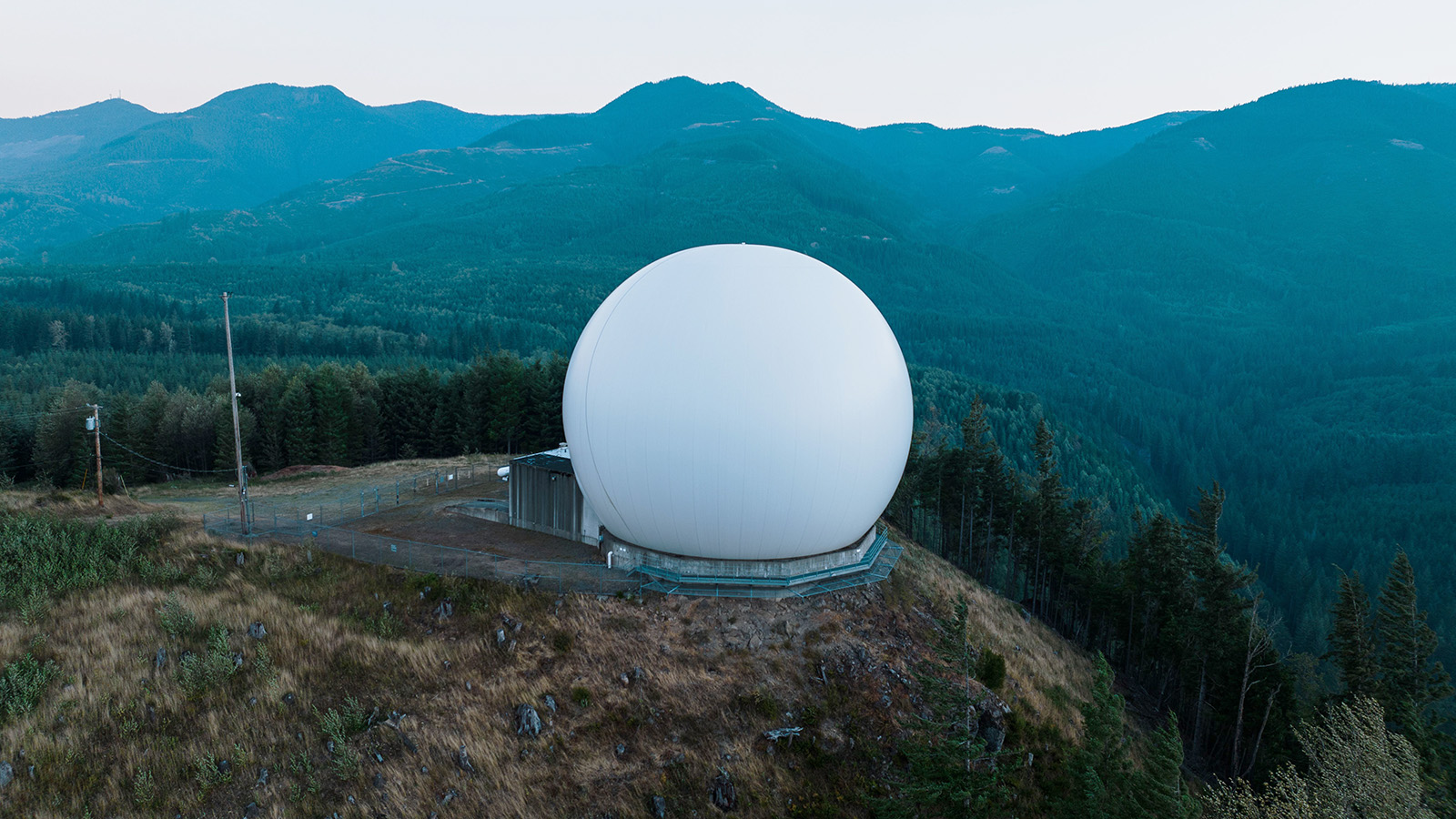
Multi-Domain Sensor Fusion: Radar, RF, Cameras, AI
Multi-domain sensor fusion explained: how radar, EO/IR cameras, RF detectors, and ground sensors combine into one operating picture for counter-drone defense.
Article
Drone Sensor Fusion: GPS-Denied Navigation Explained
Drone sensor fusion explained: how IMUs, cameras, and Kalman filters keep drones flying with sub-1% drift when GPS jamming and spoofing knock out satellites.

Article
Drone GCS Displays: 2D vs 3D Situational Awareness
Drone GCS displays compared: when 2D plan views beat 3D for precision, when 3D wins for spatial context, and why merged views reduce pilot cognitive load.
Article
Drone Video Geolocation: Shadow Math and AI Targeting
Drone video geolocation explained: how OSINT shadow analysis, DJI SRT metadata, cross-view AI matching, and terrain ray-tracing pin footage to coordinates.

Article
Drone Geolocation: Turning AI Detections Into Map Pins
Drone geolocation explained: how onboard AI, RTK photogrammetry, ray casting, and VIO turn a pixel bounding box into a precise GPS coordinate on a live map.
Article
Common Operating Picture for Drones: Plain-English Guide
Common operating picture for drones explained: how COPs fuse drone video, radar, RF, and Remote ID into one live map for UTM, defense, and public safety.

Article
Edge AI Drones: Why Onboard Beats Cloud Inference
Edge AI in drones explained: how onboard NVIDIA Jetson inference beats cloud round-trips on latency, bandwidth, and resilience in contested or remote airspace.

Article
Drone Object Detection: How to Cut YOLO False Positives
Drone object detection false positives explained: how background injection, hard negative mining, NMS-free YOLO, and temporal filtering finally fix them.
Article
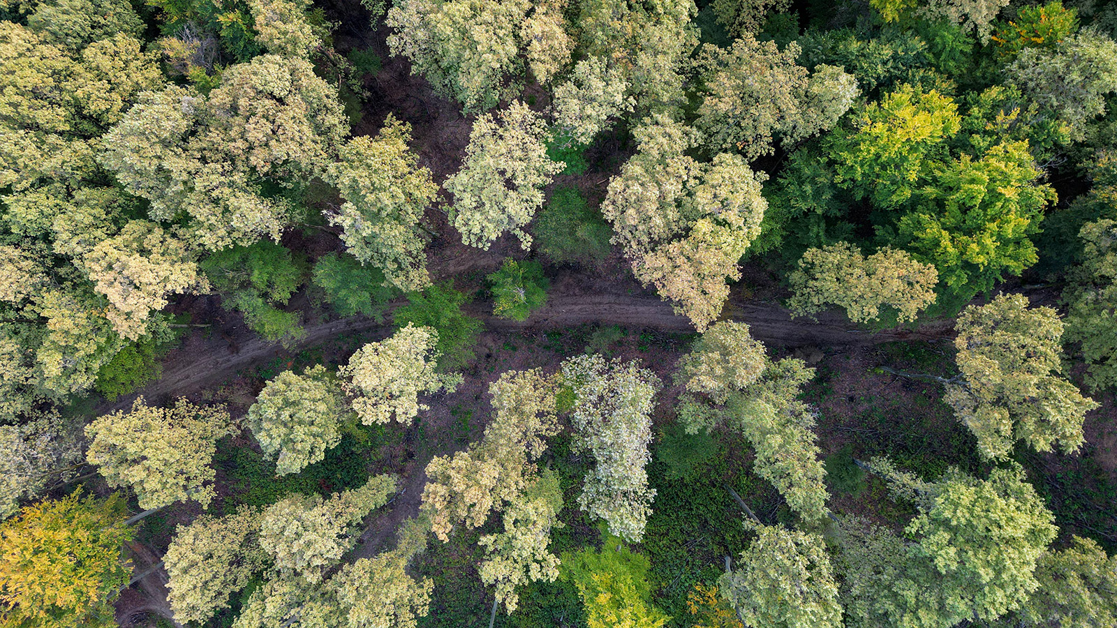
Finding People Under Canopy: Thermal Drones and Radar
Finding people under forest canopy from the air: how airborne optical sectioning, FLIR thermal drones, and FOPEN radar give SAR teams x-ray-like vision.