— Article
Drone Payload Types: Cameras, Thermal, LiDAR, and Tools
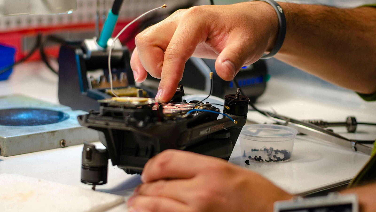
The airframe gets the drone into the sky. The payload determines whether the flight actually accomplishes anything.
That distinction matters more than most people entering the drone space initially realize. Two drones with identical flight times, identical range specifications, and identical platform categories can deliver completely different operational outcomes based entirely on what they are carrying. A thermal sensor that resolves heat signatures at 30 meters is useful for some missions and frustrating on others. An optical zoom camera that performs beautifully in daylight becomes a liability the moment the sun goes down. A spotlight that illuminates a subject from altitude in clear conditions tells the operator almost nothing through thick smoke.
Understanding payload types — what each one does well, where each one falls short, and how they interact with one another — is foundational knowledge for anyone building or operating a public safety drone program. (For the airframe side of the equation, our guide to drone types — fixed-wing, multirotor, and hybrid covers the platform categories.) This article covers the major categories in practical terms, with specific attention to how each payload type performs in the field conditions public safety teams actually face.
Optical Cameras: The Baseline
Every public safety drone carries some form of optical camera. It is the baseline capability that everything else builds on. But optical cameras vary considerably, and the differences between them matter operationally.
Wide-angle cameras capture a broad field of view and are useful for scene overview, general situational awareness, and documentation where coverage rather than detail is the priority. They are the right tool when an operator needs to understand the general layout of an incident scene, monitor crowd movement, or capture aerial documentation for a post-incident report. The tradeoff is that they sacrifice detail at range. A wide-angle camera cannot tell you whether the person in the frame is holding something in their hand.
Zoom cameras address that limitation by enabling operators to magnify a target from a safe distance. Enterprise-grade public safety platforms now commonly offer optical zoom ranges that would have been considered remarkable just a few years ago. For law enforcement work, zoom capability is frequently the most operationally consequential specification on the platform because it determines how much intelligence can be gathered before committing to an approach.
The sensor size behind the optics matters as much as the zoom factor. Larger sensors collect more light, which translates into better performance in low-light conditions and cleaner images at high zoom levels. A 48 megapixel sensor paired with strong glass produces imagery with sufficient detail to support evidence-quality documentation and investigation. Smaller sensors at the same zoom level often produce imagery that looks acceptable on a tablet screen during the flight but does not hold up under scrutiny when the footage is reviewed later.
Low-light performance has improved significantly in recent years. Starlight sensors and NIR auxiliary lighting — which uses near-infrared illumination invisible to the human eye but dramatically improves camera performance in darkness — allow modern platforms to capture usable optical imagery in conditions that previously required switching entirely to thermal. This matters operationally because optical imagery provides context that thermal cannot: building layout, signage, vehicle plates, and other visual details that a heat map cannot convey.
Thermal Imaging: The Most Critical Sensor for Many Missions
Thermal cameras do not capture visible light. They detect heat energy and render it as an image based on temperature differences across the scene. For public safety work, this capability is transformative in a way that is difficult to appreciate until you have watched a thermal feed locate a subject in dense brush that was completely invisible on the optical camera.
Human beings maintain a core body temperature that stands out clearly against cooler terrain, vegetation, and structures in thermal imagery. This makes thermal sensors exceptionally useful for any mission involving subject detection: searching for missing persons, locating fleeing suspects, finding firefighters who have become disoriented inside a structure, or identifying survivors in collapsed buildings after a disaster.
Thermal resolution is the specification that most directly determines how useful a sensor is at operationally relevant distances. Entry-level thermal sensors commonly carry 320 by 256 pixel resolution — adequate for close-range detection but loses detail at operational distances. Mid-grade sensors at 640 by 512 pixels provide meaningfully better subject detection at altitude and distance. High-end sensors at 1280 by 1024 pixels deliver a level of detail that allows operators to make confident detections at distances that would produce ambiguous results on lower-resolution sensors.
Radiometric thermal cameras go beyond simple imaging to record calibrated temperature data for every pixel in the frame. This matters for fire investigations, hotspot detection in wildfire operations, and post-incident analysis where knowing the actual temperature of a surface tells investigators something that simple imagery cannot. Non-radiometric thermal cameras are less expensive and perfectly adequate for the majority of public safety detection tasks.
The key limitation of thermal imaging that operators need to understand is that it is affected by environmental conditions in ways that optical cameras are not. High ambient temperatures reduce contrast between subjects and surroundings. Direct sunlight heats surfaces unevenly, creating false warm spots. Dense smoke attenuates thermal signatures at shorter distances than many operators expect. Thermal works best in cool conditions with high contrast, which is why night SAR in mountainous or wooded terrain consistently produces the strongest results from thermal sensors.
Multi-Sensor Integrated Payloads
The operational direction that enterprise public safety platforms have moved toward is integrating multiple sensors into a single payload unit that can be controlled and switched between during flight. This reduces the need to land and change payloads between phases of a mission, which matters considerably when time and operational continuity are critical.
An operator working an active search can switch between wide overview, zoomed optical, and thermal in the same flight without interrupting the mission or returning to the launch point. The integration between sensors also enables functions like picture-in-picture display, where the operator sees both thermal and optical feeds simultaneously, and image blending modes that overlay thermal data onto optical imagery to provide both detection capability and contextual detail in a single composite view.
For agencies that can carry only one payload configuration per aircraft, the integrated multi-sensor approach represents a significant operational advantage over single-sensor setups, provided the platform has sufficient payload capacity and the mission profile justifies the cost.
LiDAR: Precision Mapping and 3D Modeling
Light Detection and Ranging sensors work by emitting rapid pulses of laser light and measuring the time it takes for each pulse to return after bouncing off a surface. The result is a dense three-dimensional point cloud that accurately represents the terrain, structures, and objects below with centimeter-level accuracy.
For public safety, LiDAR’s primary value lies in documentation and disaster assessment applications. After a serious vehicle accident, a crime scene, a structure collapse, or a natural disaster, a LiDAR-equipped drone can capture a comprehensive 3D model of the scene that can be examined, measured, and presented in court or to FEMA long after the physical scene has been altered or cleared. What takes a ground survey team hours to document can be captured by a drone in a single flight.
Wildfire and emergency management operations also use LiDAR for terrain modeling. Accurate elevation data helps fire behavior analysts predict how a fire will spread, helps SAR coordinators understand what terrain features search teams are working with, and helps incident commanders make decisions about resource positioning and evacuation routing.
LiDAR payloads are heavier and more expensive than camera payloads, which means they are not standard equipment on most frontline response drones. They are more likely to be part of a dedicated documentation or mapping capability within a program.
Spotlights: Extending Night Capability
A drone with a camera and no illumination capability is severely limited during night operations. Optical cameras need light. Even sensors designed for low-light performance have a floor below which they cannot produce useful imagery. Thermal cameras do not need visible light at all, but the optical context that helps operators understand what the thermal feed is showing requires some level of illumination once conditions get dark enough.
Drone-mounted spotlights have become standard equipment for any program doing serious night work. Current-generation units output between 2,000 and 3,000 lumens with field-of-view optics designed for aerial deployment, illuminating subjects effectively at distances of 100 to 150 meters. Gimbal-mounted designs that have become common on enterprise platforms automatically align the spotlight beam with the camera direction.
For SAR teams searching at night, a spotlight that illuminates a subject while the thermal camera confirms their heat signature and the optical camera captures imagery detailed enough for identification represents a meaningful improvement over what any single sensor could deliver alone.
Loudspeakers and Two-Way Audio
The ability to broadcast audio from altitude and receive audio back from the ground adds a communication dimension to drone operations that goes beyond surveillance and detection.
Drone-mounted loudspeakers are now capable of broadcasting intelligible speech at volumes up to 122 decibels at effective ranges of 200 to 350 meters. Text-to-speech systems built into current-generation payloads allow operators to type a message and have it broadcast immediately without needing to speak into a microphone.
SAR teams use audio payloads to call out to subjects who may not be visible in imagery but could respond to a voice command. Law enforcement uses them during pursuits, crowd management, and standoff situations. During large-scale evacuations or disaster response, a drone with a loudspeaker can deliver instructions to survivors in areas that ground teams cannot safely reach.
Two-way audio, where the drone carries a microphone capable of capturing sound from the ground, adds a negotiation and information-gathering capability that dedicated public safety platforms have built as a core feature specifically for hostage and active shooter scenarios. Hearing what is happening inside a space before anyone enters it is operationally significant in a way that imagery alone cannot fully replace.
Drop Systems and Payload Delivery
Some missions require the drone to deliver something to a person on the ground rather than just observe them. Life rings for water rescue, emergency communication devices for isolated survivors, medical supplies for casualties in unreachable locations, and chemical detection instruments that can be lowered into hazardous spaces are all examples of payloads that need to be precisely placed.
Drone drop systems range from simple triggered release mechanisms for lightweight items to winch-based systems capable of lowering substantial payloads on a cable with precision. For most frontline programs, drop capability is a secondary or specialized function that becomes relevant in specific scenarios — particularly water rescue and disaster relief — where getting something to a person quickly makes a direct difference in outcome.
Gas Detection and Environmental Sensors
Hazardous materials incidents, industrial accidents, suspected chemical exposures, and post-disaster environments where infrastructure damage has created secondary hazards all benefit from the ability to sample the air before sending personnel in.
Drone-mounted gas detection sensors can identify the presence and concentration of compounds including carbon monoxide, hydrogen sulfide, methane, volatile organic compounds, and in specialized configurations, radiation. Flying a sensor package into the exclusion zone around a hazmat incident and returning a real-time reading to the operator fundamentally changes decision-making for the incident commander.
These sensors are specialized equipment configured when the mission type calls for them — exactly the argument for modular payload systems that allow the same airframe to be reconfigured quickly.
Matching Payloads to Programs
A mature drone program does not operate a single payload configuration on every aircraft all the time. It maintains a payload library that maps to its mission type mix, trains operators on the conditions where each sensor performs best, and builds the pre-deployment workflow around selecting the appropriate configuration before launch. For an overview of how drones are transforming public safety operations across law enforcement, fire, SAR, and disaster response, the operational context shows why sensor selection matters as much as the airframe.
The trend toward integrated multi-sensor payloads reduces some of that complexity. But the underlying principle remains: the value a drone delivers on a mission is inseparable from what it is carrying when it gets there. A program that invests in the right airframe and then under-invests in payload capability is leaving operational value on the ground.
Start with the sensor that matters most for your most common mission type, understand its limitations in the conditions you actually work in, and build outward from there. The telemetry layer in your C2 platform should track payload status alongside aircraft health so coordinators know what each aircraft is carrying and whether it is operating correctly — before the mission depends on it.
We’re building TacLink C2 with payload-aware fleet management — track what each aircraft is carrying, monitor sensor status in real time, and match the right payload to the right mission from a single coordination platform. If you’re building a multi-sensor program, join the early access waitlist.
— Related
Keep reading

Written by
TacLink C2 Team
TacLink C2 Team builds a modern desktop ground control station for independent and commercial drone pilots. Writing here covers mission planning, multi-drone operations, airspace, and the software that keeps serious UAS programs running.